Should you live steps from downtown Bangor or stretch out on the city’s edge? It is a big decision that shapes your daily routine, budget, and how much home maintenance you take on. If you want a clear, practical way to compare your options, you are in the right place. You will learn how in-town and edge-of-city homes differ on housing types, lot sizes, convenience, utilities, rules, and recurring costs, plus a simple checklist to help you choose with confidence. Let’s dive in.
What counts as in-town vs edge-of-city
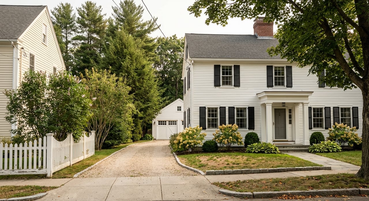
In-town Bangor covers the central core and nearby historic neighborhoods. Think downtown/Main Street and West Market Square, the Broadway and Whitney Park historic districts, and the adjacent Tree Streets, Park, and Thomas Hill areas. These blocks include older Victorians, compact single-family homes, and small multifamily buildings, with some historic protections that may limit exterior changes. You can see the city’s historic register overview for these areas in the state’s archive of Bangor’s listed historic districts.
Edge-of-city refers to the car-oriented corridors and newer neighborhoods near Stillwater Avenue and the Bangor Mall area, Bass Park and Route 2 nodes, the airport industrial corridor, and developing subdivisions beyond the dense grid. These areas tend to feature newer single-family homes and larger average lots.
Zoning lines can change block by block. For any address, confirm the exact zoning district and parcel details using the City’s GIS parcel viewer.
Housing styles and lot sizes
In-town homes
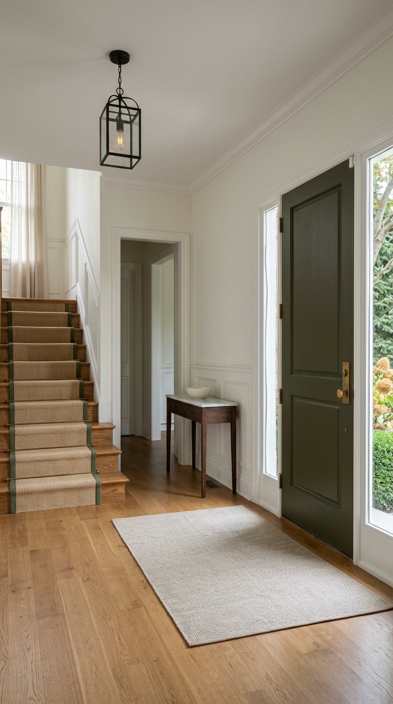
In-town Bangor offers a mix of wood-frame Victorians, historic mansions along Broadway and Whitney Park, small-lot single-family homes, duplexes, and small multifamily buildings. Many lots are compact, often in the 5,000 to 10,000 square foot range. Urban districts commonly allow about 5,000 square feet per dwelling unit for small multi-unit conversions. You can see these minima in the City’s urban schedule of the Land Development code Schedule A.
Because the housing stock is older, plan for typical updates over time. That can include insulation, electrical or heating system work, roofing, and foundation maintenance. Historic district protections may also guide what you can change on the exterior.
Edge-of-city homes
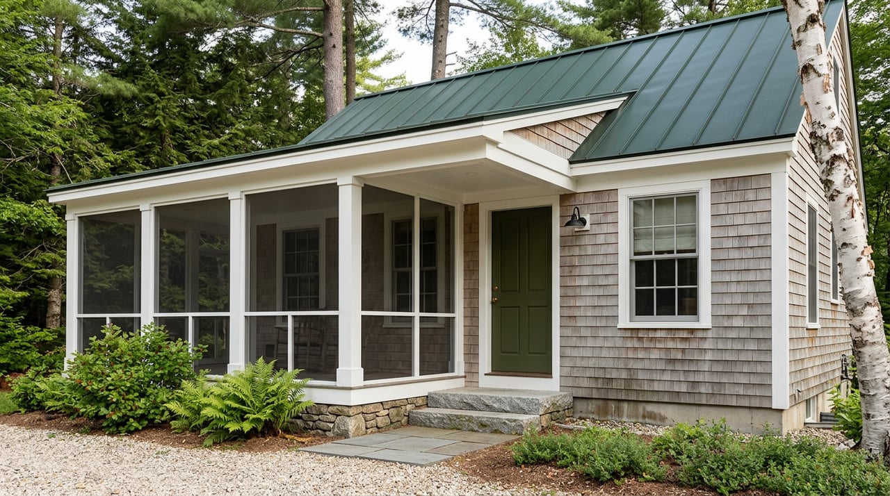
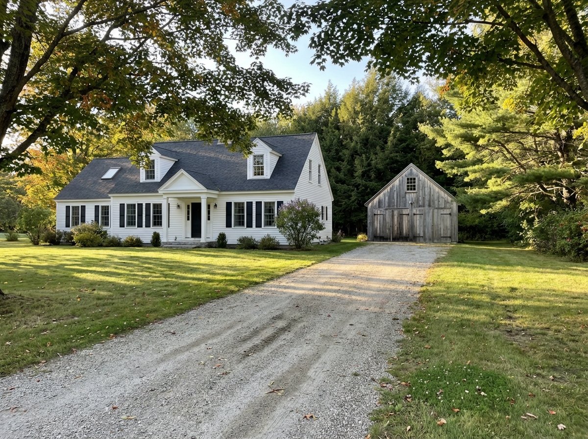
Bangor’s fringe neighborhoods focus on detached single-family homes, including ranches, colonials, and contemporary styles, along with newer subdivisions and some modular or manufactured housing in developing areas. Lots are usually larger than downtown and often run from roughly 8,000 to 10,000 square feet or more, with many parcels extending to half an acre or beyond. The City’s developing-area standards show higher lot-area requirements; see Schedule B for examples.
Expect exceptions and verify
Large in-town estates do exist, especially on parts of West Broadway, and some fringe parcels can be smaller than you expect. Always confirm the parcel size and zoning in the GIS parcel viewer before you decide.
Daily convenience and mobility
Bangor’s overall walkability is modest on average, but in-town addresses near Main Street and Broadway often score much higher. Citywide, walkability sits in the low 40s, while many downtown blocks see scores in the 70s and 80s. For a quick snapshot of how Maine cities compare, review this walkability overview.
- In-town perks: short walks to restaurants, independent shops, cultural venues, the riverfront, and evening options.
- Edge-of-city perks: fast access to Stillwater Avenue’s retail corridor, large format stores, groceries, and quick I-95 connections. Parking is simple and errands are drive-first.
For transit, the Community Connector runs fixed routes across Bangor and to neighboring towns from the Water Street transit center. Service reaches downtown and many retail corridors, though frequency is limited compared with bigger metros. Check current routes and times with the Community Connector.
Costs, taxes, and the market
Recent market trackers place Bangor’s median home price in the range of about 270,000 to 290,000 dollars through late 2024 to early 2026. Numbers vary by data source and month, and micro differences appear by neighborhood and housing type. The key takeaway: in-town offers a wider spread from compact condos to high-end historic properties, while the edge often concentrates on mid-size single-family homes where you may get more land and interior square footage for the money.
Bangor’s FY2026 city mill rate is 17.70 per 1,000 dollars of valuation. Properties inside the Bangor Center Development District have an additional 0.72 per 1,000 dollars assessment that is billed separately. Always confirm the current year’s numbers and whether a parcel is in the special district with the City’s Assessing office.
Utilities, services, and fine print
Water and sewer basics
Much of Bangor is on public water through the Bangor Water District, which serves the city and nearby communities. Some fringe parcels may have private wells depending on the location and main extensions. Verify service for any address directly with the Bangor Water District and confirm parcel details in the GIS viewer. In-town parcels are more likely to have municipal sewer, while very fringe lots can rely on septic systems.
Trash, parking, and winter rules
In-town homes often follow on-street parking rules, including winter parking bans for snow removal. The City provides curbside automated collection with 96-gallon bins and publishes collection schedules and street-specific notes. Review the latest guidance on the City’s trash and recycling page and plan for driveway and private snow-clearing needs in fringe neighborhoods.
Flood zones, permits, and insurance
Bangor adopted FEMA Flood Insurance Rate Maps for Penobscot County and requires Flood Hazard Development Permits for work in regulated flood zones. The City references the July 19, 2023 FEMA flood study and maps. If you are looking at riverfront or low-lying parcels, check the maps, ask for an elevation certificate if available, and factor flood insurance and permit requirements into your budget. Review the City’s floodplain ordinance before you buy or renovate.
Airport overlays and special districts
Parcels near Bangor International Airport may fall under the Airport Development District and can be subject to additional review or FAA-related constraints. Ask your agent to confirm overlay districts and any use or height limits in the Land Development code, and always verify a specific address in the GIS parcel viewer.
In-town vs edge-of-city: the tradeoffs
Use these questions to focus your search:
- Walkability vs driving: How many errands do you want to do on foot? If daily walkability and evening options are a priority, center your search in downtown pockets. If off-street parking and quick highway access matter more, look outward. See this walkability overview for context.
- Yard size vs upkeep: Do you want room for a garden or addition, or do you prefer less mowing and exterior work? Urban zoning often fits smaller lots, while developing areas tend to require larger minimums. Compare the City’s urban Schedule A and developing Schedule B standards as a starting point.
- Age and renovation budget: Many in-town homes are older. Plan for inspection, energy improvements, and possible systems upgrades when you write your offer.
- Utilities and connectivity: Confirm public water, sewer, and broadband at the parcel level. The Bangor Water District and the City’s GIS viewer are authoritative.
- Hazards and special costs: Check FEMA flood zones, airport overlays, and any permit triggers. Review the City’s floodplain ordinance to understand requirements.
- Taxes and local assessments: Compare tax bills year to year and whether a parcel sits inside the downtown development district. The City’s Assessing page lists rates and resources.
How to choose with confidence
Start by ranking your top three must-haves. If you value walkability, nightlife, and shorter trips, focus on in-town streets within a 10 to 15 minute walk of your regular errands. If you want a bigger yard, driveway, and newer systems, the edge-of-city corridors and subdivisions likely fit better.
As you tour, compare the true cost of ownership. A smaller in-town lot may save on yard work, but an older boiler or roof could change your budget. A larger fringe parcel may offer room to grow, but private plowing and longer drives add time and cost. Your goal is to align daily convenience, maintenance, and long-term plans with what each area delivers.
With a technical eye on structure, utilities, flood and zoning rules, you can narrow your list fast and write offers that account for the real costs, not surprises later.
What to do next in Bangor
- Verify zoning, utilities, and parcel data in the City’s GIS parcel viewer.
- Check FEMA flood zones and ask for any elevation certificates. Review the City’s floodplain ordinance.
- Ask for recent utility bills, and if applicable, septic inspection records. City permit records are public and can confirm past work.
- If walkability matters, do a test walk to a typical errand at the time you would usually go. For transit checks, use the Community Connector route maps.
Ready to compare specific addresses and get a renovation and cost-of-ownership read before you offer? Reach out to James A. Spear for a focused plan that fits your goals.
FAQs
What areas count as “in-town” Bangor?
- Downtown/Main Street and West Market Square, Broadway and Whitney Park historic districts, and nearby Tree Streets, Park, and Thomas Hill neighborhoods.
How big are typical edge-of-city lots in Bangor?
- Many fringe parcels run from about 8,000 to 10,000 square feet or larger, with common options around half an acre and some beyond, per developing-area standards.
Are most in-town Bangor homes on public utilities?
- In-town parcels are more likely to be on public water and sewer, while very fringe lots may use wells or septic; always verify with Bangor Water and the City GIS viewer.
What are Bangor’s current property tax rates?
- FY2026 shows 17.70 per 1,000 dollars of valuation citywide, plus 0.72 per 1,000 dollars for parcels inside the Downtown Development District, billed separately.
How do I check flood risk for a Bangor property?
- Review FEMA flood zones and the City’s floodplain rules, ask for any elevation certificate, and factor insurance and permit needs into your budget.
Is in-town Bangor walkable without a car?
- Many downtown blocks are very walkable for daily errands and dining, while the citywide average is more car-oriented; test-walk your route to be sure it fits your routine.